Service
Herd Analysis
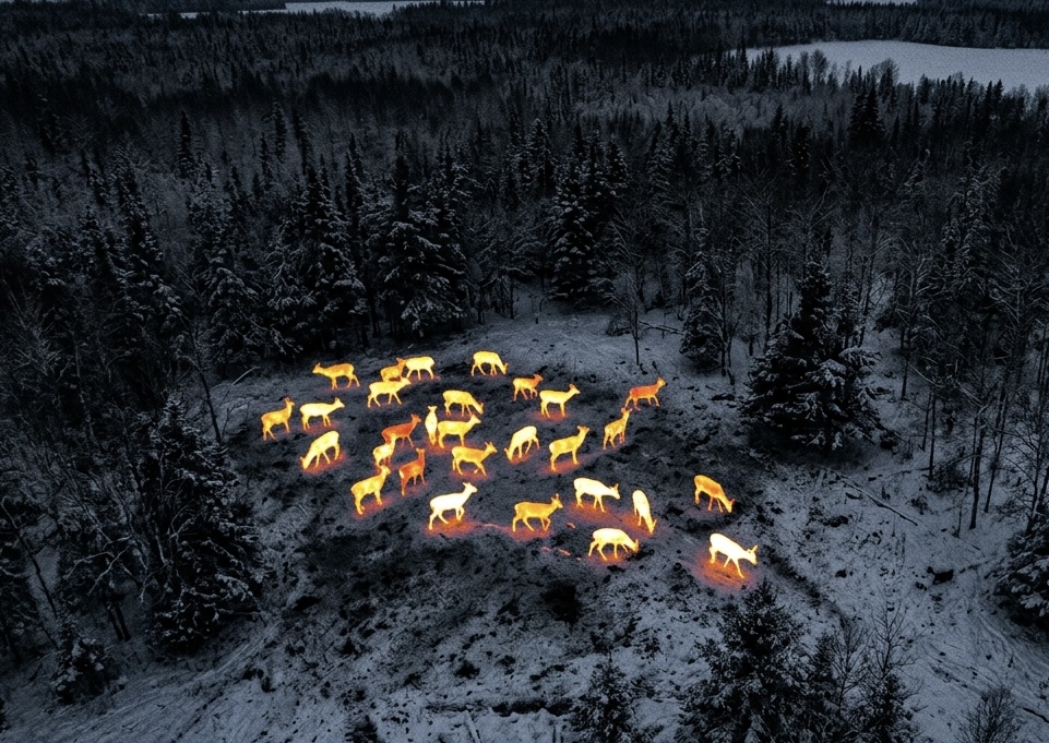
We do advanced herd analysis on your property with our thermal imaging drone, which allows us to count and mark every visible deer with very high accuracy. We are also able to tell you your buck-to-doe ratio.
Manage Your Herd With Real Data
Trail cameras only see what walks in front of them. A thermal drone survey covers your entire property in a single evening, giving you an accurate picture of your herd before you set your season strategy.
- Total deer count across your property.
- Buck-to-doe ratio for informed management decisions.
- Bedding, feeding and travel patterns visible from the air.
- Repeat surveys year over year to track herd health.
Book a Survey for Your Property
Available in all Virginia counties. Reach out with your acreage and general location, and we'll get back to you with next steps.
Request Herd Analysis